Vessel Monitoring System to revolutionise fisheries control
pp. 20-22 · Read in the full issue
revolutionise fisheries control
By Sophie Foster Hildebrand
IF anyone had said, a little over a decade ago, that before the year 2000, South Pacific coun tries would be able to track (in near-real-time) the activities of vessels fishing in their waters, they might have been met with laughter.
But today, this vision is a reality.
Through the Forum Fisheries Agency’s Vessel Monitoring System, Pacific Island nations can keep stock of who is fishing in their waters, where they are fishing, how long they stay for and if they meet up with other vessels at sea.
The Regional Vessel Monitoring System,
first proposed in 1993, was primarily aimed at sustaining Pacific tuna stocks but also came about out of pure necessity.
Some of the problems that the industry and authorities had come across included the inability to monitor illegal fishing activ ities, under-reporting and mis-reporting by fishing vessels, and the need to improve
compliance.
The FFA VMS is not only aimed at improving fisheries management, but also
improving awareness of fishing vessel movements, and enhancing communication capability and information exchange between the FFA and member countries.
The VMS automatically monitors the location of vessels, then analyses and pre sents this information to FFA and its mem bers.
The FFA VMS is capable of handling position reports of up to 2000 vessels, pro viding near-real-time monitoring.
It helps countries to detect vessels as they enter or leave Exclusive Economic Zones (EEZ); those which are travelling slowly in an EEZ for which the vessel is not licenced to fish; and vessels travelling slowly in a closed area.
It also allows operators to check on ves sels that fail to return a scheduled position report, and identify those that are dead in the water (which usually means that they are fishing or collecting their lines).
The system also allows authorities to cross-check their data against that of a ves sel’s log of claimed catch location. It pro vides an indication of fishing activity and targetted species through analysis of the ves sel’s track pattern, location and speed.
One of the ways that this system works against those who are not licenced, is that, because it provides information on known vessel activity, surveillance missions can quickly identify unknown vessel activity.
The FFA VMS also allows two-way e mail communication between FFA, its mem bers and licenced vessels.
But the applications are not merely big brother, because as some operators have said, a monitored tracking system can help in search and rescue efforts.
The system can be used to find and alert vessels near a ship-in-distress, and if the ship-in-distress is part of the network, its last reported position may be used to identi fy the search area.
The VMS works by providing position information of vessels, which are then trans ferred to the FFA Headquarters, processed, analysed and distributed to member coun tries. It is presented as a map display.
The vessel position data is collected by means of an Automatic Location Communicator (ALC) which is installed on all vessels licenced to fish in the area. ALC uses the GPS to determine its location and automatically reports its position at preset intervals or when requested by VMS opera tors.
The vessel position data is sent from the vessel ALC to Perth Land Earth Station (LES) by the satellite Inmarsat-C. From LES, the information is beamed to the VMS hub site at FFA through X. 25. The same process is reversed when VMS operators at FFA and member countries send commands to vessels.
At FFA, vessel position reports are auto matically processed and analysed by the MAKO Support system. Pre-set rules are used by the Decision Engine to analyse each position report and VMS data is stored in an Oracle database.
The Decision Engine generates alert messages for member countries based on decision rules that analyse reported vessel
positions.
Alternately, member countries request vessel position and other information as required and the information is stored in local databases.
Continued on page 22
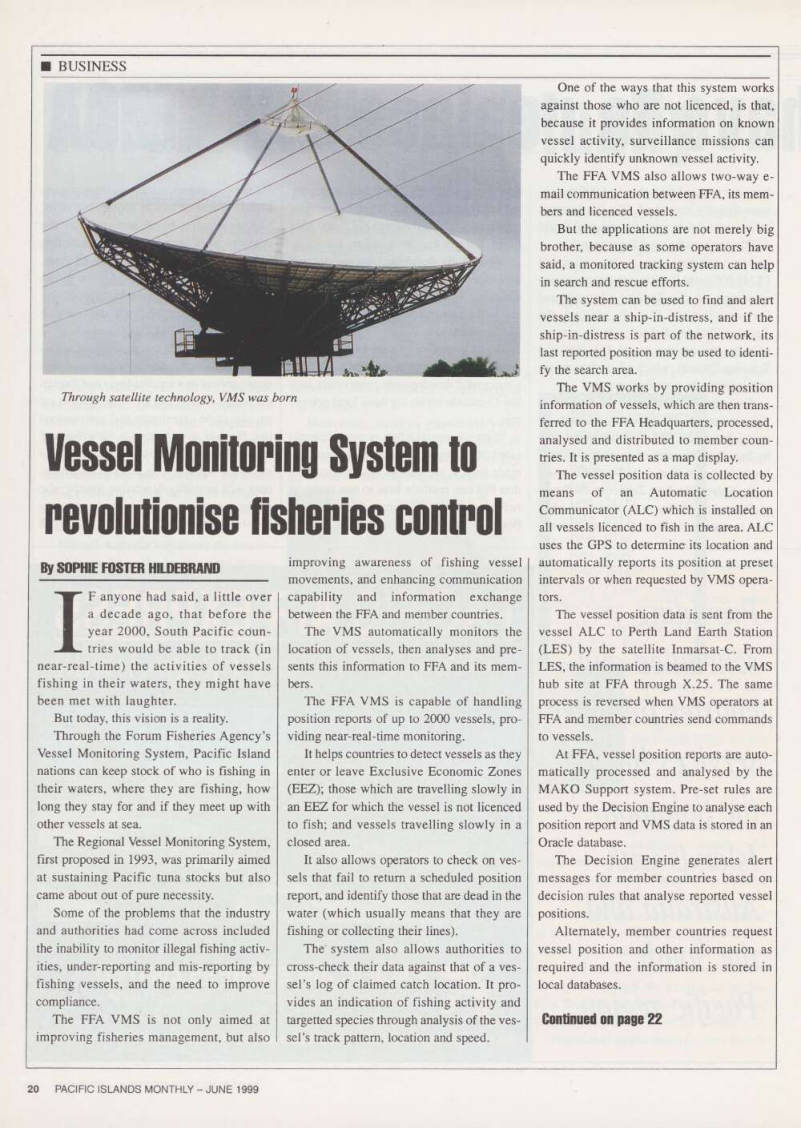
Through satellite technology, VMS was born
From page 20
To transfer the data from the FFA to its members, several methods can be used.
Chief amongst these, and considered more reliable than the rest if the use of the Internet.
In countries where no Internet service exists, IDD (international direct dial) can be used.
The FFA VMS is also geared to allow downloads through Satcom-C (ALC comms, telex, fax, GMDSS, access to Fleet Net) but it is currently not configured.
To ensure security, which is a prime concern for fishing fleets in such a compet itive industry, an encryption system called Smart Crypt - which encodes and decodes data (based on public key algorithm) - is
used. Each FFA member can tailor aspects of the FFA VMS to reflect their require ments through the VMS system. For exam ple, individual countries can decide how frequently and which vessels it wishes to monitor.
The system is also designed to be inte grated with other fisheries management systems such as the Vessel Licencing
System, People and Organisations
Database System, and the Regional
Registrar of Foreign Fishing Vessels.
To sustain the system, FFA member countries set up a VMS Register process, incorporating a VMS levy that sets an annual fee level aimed at fully recovering the cost of operating the system.
It also approved that the VMS levy be
collected from all foreign fishing vessels as a condition before obtaining a licence to fish in the EEZs of FFA member countries.
The current fee level is set at US$B45 per vessel per annum, based on the assump tion that 1,000 vessels will operate the VMS. Simple mathematics places the operating figure at U 55845,000.
FFA forecasts that, in future, its VMS can be used to collect and process catch reports (and other reports) from vessels, tracking non-fisheries related vessels such as hazardous chemical and oil tankers and detect likely transshipment of catch at sea
by analysis of possible rendezvous with
other vessels.
Suddenly, the Pacific ocean does not seem so huge after all. ■