Pilot's-eye view of the South
pp. 46-47 · Read in the full issue
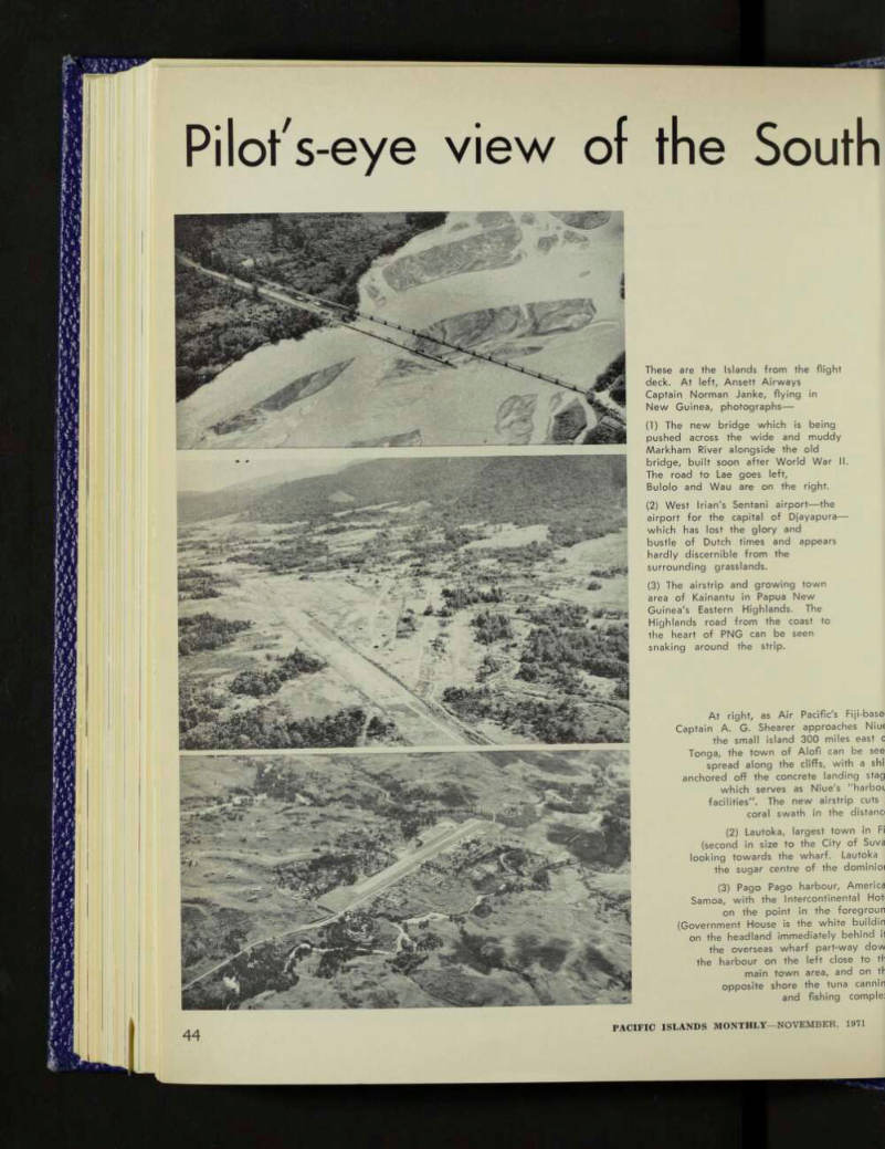
These are the Islands from the flight deck. At left, Ansett Airways Captain Norman Janke, flying in New Guinea, photographs— (1) The new bridge which is being pushed across the wide and muddy Markham River alongside the old bridge, built soon after World War II.
The road to Lae goes left, Bulolo and Wau are on the right. (2) West Irian's Sentani airport—the airport for the capital of Djayapura — which has lost the glory and bustle of Dutch times and appears hardly discernible from the
surrounding grasslands.
(3) The airstrip and growing town area of Kainantu in Papua New Guinea's Eastern Highlands. The Highlands road from the coast to the heart of PNG can be seen snaking around the strip.
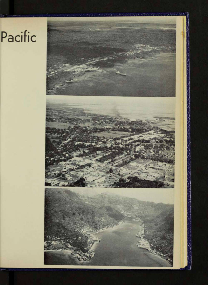
At right, as Air Pacific's Fiji-bases Captain A. G. Shearer approaches Niue[?] the small island 300 miles east [?] Tonga, the town of Alofi can be see spread along the cliffs, with a shi[?] anchored off the concrete landing stag[?] which serves as Niue's "harbo[?] facilities". The new airstrip cuts coral swath in the distano[?] (2) Lautoka, largest town in Fi[?] (second in size to the City of Suva[?] looking towards the wharf. Lautoka the sugar centre of the dominioi[?] (3) Pago Pago harbour, America[?] Samoa, with the Intercontinental Hotel on the point in the foregroun[?] (Government House is the white building on the headland immediately behind it the overseas wharf part-way dow[?] the harbour on the left close to th[?] main town area, and on the opposite shore the tuna cannin[?] and fishing comple[?]