Long-Forgotten
p. 85 · Read in the full issue
What's In A Name?
Ellice Islands Commemorate Long-Forgotten Politician
By Robert Langdon
In a recent issue of Colony
Information Notes, the weekly
newsletter of the Gilbert and Ellice Islands Colony, a school master in New Zealand asked if anyone could tell him why the Ellice Islands were so named.
THE schoolmaster, Mr. K. P. Olsen, headmaster of Maunu School, Whangarei, said that despite inquiries over several years, he had never been able to track the information down.
As Mr. Olsen’s letter produced no enlightening replies in Colony Infor mation Notes, and as his letter made me curious about the name, too, I decided to try to find the answer myself.
I did. But it was not easy, as all the most likely reference books were silent on the subject of who or what the name Ellice stands for.
Eventually, however, I got on the trail in Edouard A. Stackpole’s The Sea-Hunters, a book on whaling and sealing, published in Philadelphia in 1953.
In this, Mr. Stackpole tells how a sea-captain called De Peyster passed through what is now known as the Ellice Group in 1819 in the ship Rebecca, and bestowed the name Ellice on the large atoll of Funafuti, which he was the first European to see.
Friend And Benefactor In the Nantucket Inquirer for October 22, 1822—according to Mr.
Stackpole—De Peyster is quoted as saying that the name Ellice was given “in honour of my friend and bene factor, E. Ellice, MP for Coventry”.
This statement gives substance to Mr. Stackpole’s assertion that De Peyster’s ship was a British armed brigantine, and not, as is stated in A. G. Findlay’s A Directory for the Navigation of the South Pacific Ocean, an American ship. The direc tory was published in London in 1851.
However, Findlay gives several other items of interest on the subject
which are apparently correct.
“Funafute or Ellice’s Group,” he says, “is an extensive ring of small islets ... so far separated as to give the idea of distinct islands, which has led to the name of group being applied to them ...
“They were discovered by Captain Peyster, in the American ship Rebecca on March 18, 1819. He named one on which he was nearly wrecked Escape Island; the south ernmost, Rebecca Island, from his vessel; and the west, Brown Island.”
Findlay adds that Captain Peyster was on his way from Nukuhiva (Marquesas Islands) to the East Indies when he discovered Funafuti, and that he also discovered neigh bouring Nukufetau, which was also known as Peyster’s Group or Island.
Findlay’s remarks on Funafuti, Nukufetau and neighbouring atolls appear in his book under the col lective name, Ellice’s Group. “This,” he says, “is the name of one of the islands, or rather subordinate groups of a range of islands, which extends in a NW and SE direction for 300 miles.
Exploring Expedition
“The name has been applied to the whole range in the chart drawn up by the American Exploring Ex pedition [which visited the area in 1840 under Commodore Wilkes] and as it may be serviceable, it is here repeated without any reference to the appropriateness of the general term.”
Like Findlay, cartographers, naval
officers and government officials have repeated the name ever since— almost certainly without knowing what it stands for—and it seems that so long as the Gilbert and Ellice Islands remain a colony of Great Britain, it will remain on the map.
The term Gilbert Islands, by the way, got on the map in an equally arbitrary manner. It was put there by the Russian hydrographer, A. J.
Krusenstern, author of Atlas de I’Ocean Pacifique and the accompany ing Recueil de Memoires Hydro graphiques pour servir d’Analyse et d’Explication a I’Atlas, which were published at St. Petersburg, in Russian and French, between 1824 and 1834.
In these, works, Krusenstern em bodied everything that had previously been observed in the Pacific of value to a navigator; and in doing this, he tried to sort out all the islands — which had been discovered piecemeal over three centuries —into groups.
Thus, the Gilbert Islands were so named in honour of Captain Thomas Gilbert, who discovered several of them while sailing from Sydney to Canton in the ship Charlotte in 1788.
Similarly, the name Marshall Islands went on the map to honour Captain John Marshall of the ship Scarborough which sailed in com pany with the Charlotte and passed through the Marshall Islands after sighting the Gilberts.
A third name that Krusenstern was responsible for was Cook Islands, given for the obvious reason that Captain Cook was the discoverer of most of them.
Never Translated Although Krusenstern’s work was never translated into English, British hydrographers of the 19th century had the profoundest respect and admiration for it, and incorporated many of his ideas in their own works.
As a result, names chosen by Krusenstern have “stuck” down the years, whereas some chosen earlier by other, equally authoritative people have been discarded.
An example of this is the dis appearance of the name Hervey Islands as the collective name for the Cook Islands.
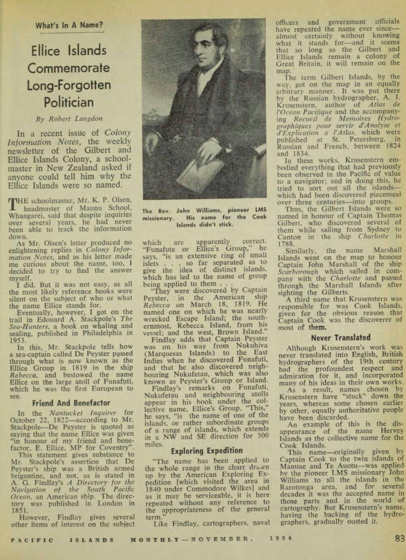
This name—originally given by Captain Cook to the twin islands of Manuae and Te Auotu—was applied by the pioneer LMS missionary John Williams to all the islands in the Rarotonga area, and for several decades it was the accepted name in those parts and in the world of cartography. But Krusenstern’s name, having the backing of the hydro graphers, gradually ousted it.
The Rev. John Williams, pioneer LMS missionary. His name for the Cook Islands didn't stick.