Keeping a wea ther-eye open
pp. 53-54 · Read in the full issue
Yachting
Keeping a wea ther-eye open The El Nino years
Text and photography by SALLY ANDREW
The 1996/1997 South Pacific cyclone season was extremely active, starting early and ending late. Reports on conditions for the upcoming summer point to the El Nino event of the century with devas tating effects worldwide. For yachts cruising in the South Pacific, it will mean keeping a weather-eye open.
This past cyclone season opened with a bang when Cyril, the first cyclone, was named on November 23, 1996. Back-to back cyclones over Christmas and New Year put the toll at three cyclones in six weeks in the southwest Pacific. We cow ered in the backwaters of New Caledonia’s best cyclone hole, Baie du Prony, listening to contradictory weather forecasts.
Cyclones are fickle phenomena. At one point, Australian forecasters predicted that Cyclone Drena would slide down the east coast of New Caledonia, the Fiji met office said the west. Computer models showed west, too, but satellite imagery said east. In the end, Noumea Radio threw its hands in the air and did not attempt to forecast
Drena’s intentions. Meanwhile we waited, and watched the barometer drop and the wind shift.
The 14th and final cyclone of the 1996/1997 season arrived well after the cruising season started in mid-April. Keli was named on June 13 and struck the
southern Tuvaluan island of Niualakita twice before storming by the French terri tory of Wallis and Futuna on its way south wards Fiji and Tonga.
Every indication is that 1997/1998 will be an El Nino year. A reversed pressure dif ferential between the eastern and western
Pacific regions combined with warmer--. than-usual water temperatures in the east ern and central tropical Pacific portend more tropical cyclone activity east of the geographical Dateline.
Sir Gilbert Walker, British scientist, was the first to discover the connection
Cyclone tracks
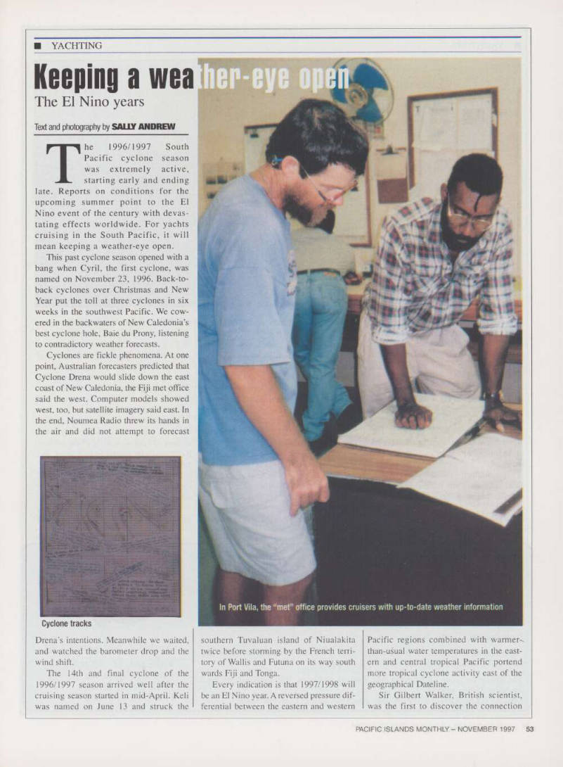
In Port Vila, the “met” office provides cruisers with up-to-date weather information
between the barometer readings of Tahiti and Darwin. Normally the pressure is high in the east, low in the west, and this drives the strong easterly trade winds that push the warm water in the eastern Pacific towards northern Australia.
But when pressures reverse, the trade winds slacken, and the water sloshes back towards South America. The weather gets screwier than usual, and side-effects include cyclones east of longitude 180, westerly winds in the equatorial area, abnormal ocean currents and devastating droughts.
The Southern Oscillation Index (or SOI) represents this difference in atmo spheric pressure between Tahiti and Darwin.
In early 1997, the SOI peaked at -26. In
June 1997, the SOI was -18. An SOI of less than -10 is an El Nino event.
Another indicator of El Nino is water temperature. El Nino is essentially the
large scale warming of tropical Pacific
waters off the South American coast. The Spanish-speaking fishermen who first noticed the phenomenon named it after the Christ child - El Nino - because it usually occurs around Christmas.
Currently, Pacific sea surface tempera ture (SST) anomalies are the largest since 1982/83. Climatologists have been report ing temperature rises of as much as 5-6 degrees Celsius off the South American coast. The effects of this anomaly have already been felt in Indonesia and Australia where drought conditions are expected, and in Chile, where more rain
fell in 22 hours than had fallen in 22 years.
According to experts, the SOI and the SST’s indicate a fairly substantial chance of an El Nino year. But will the next cyclone season be even longer than the last one? Not necessarily. Each season of El Nino is different, and in 1982/83 the worst cyclones were concentrated during one month in French Polynesia.
John Anderson, weather afficionado at Norfolk Island (Australia), says the amount of cyclone activity in the western Pacific may be similar to past years, but activity in the east will be increased from non-El Nino years. For farmers in the Pacific, unseasonably droughts and rains are likely.
The initial warning is there. But it’s a game of wait and see. ■
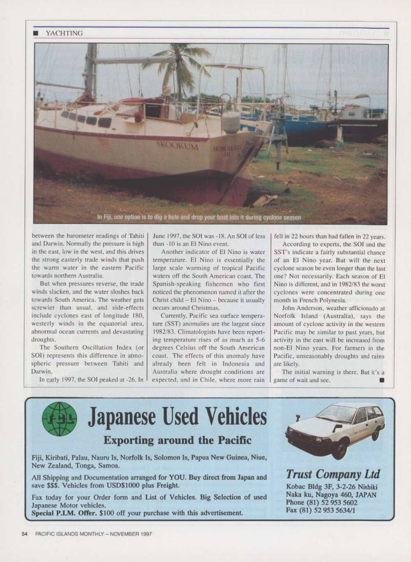
In Fiji, one option is to dig a hole and drop your boat into it during cyclone season