Itself On The Map
p. 39 · Read in the full issue
New Guinea's Kandrian Puts Itself On The Map
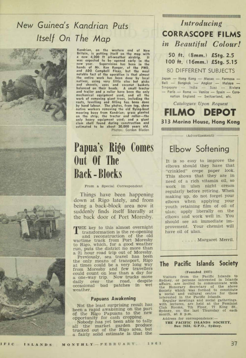
Kandrian, on the western end of New Britain, is putting itself on the map with a new 4,200 ft all-weather airstrip. It was expected to be opened early in the new year. Supervision has been in the hands of Mr. Ken Ranger, of the PWD, and ADO Campbell Fleay, but the most notable fact of the operation is that almost the entire work has been done by local natives, using very little else but picks and shovels, axes and coconut baskets balanced on their heads. A small tractor and trailer and a roller have been the only mechanical equipment used, and all the work of removing giant trees, including the roots, levelling and filling has been done by hand labour. The photos, from top, show native workers removing the old flying-boat mooring buoy from Kandrian; grass planted on the strip; the tractor and roller—the only heavy equipment used; and a giant clam shell found during construction and estimated to be about 30,000 years old.
Photos: Gordon Bladen