Drawing water lines for the islands
pp. 24-25 · Read in the full issue
By David North
THERE are lots of people with specialised occupations in the Pa cific, but Galo Carrera is probably the only person whose specialty is drawing lines on water with a computer.
The lines he draws are important to every Pacific country, because it is his computer that helps establish the exact location of the Exclusive Economic Zones
(EEZs). Carrera’s lines are important because they determine which nation secures the money for the resources lying within those 200-mile limits, such as tuna now, and maybe oil and minerals in the future.
Carrera, being both a careful man and a scientist, is not given to sweeping statements. He stresses that his work on international lines for the Forum Fisheries Agency (FFA), for example, does not
establish formal international bound aries, but it does help create provisional treaty lines (PTEs), a useful but lesser set of demarcations. These can be used by the FFA to divide up that part of the US Tuna Treaty funds that relate to the annual tuna catch by the US tuna fleet.
EEZs usually run 200 nautical miles out to sea beyond the last dry land (at low tide) of the nation in question. That’s easy
enough if there are no other islands belonging to another nation within 400 miles of the first island. But usually there are other islands, and that complicates matters and requires the help of Carrera and his computer. The task is to draw exactly the right PTE between the two nations so that each has exactly half the waters which might otherwise be dis
puted.
Carrera’s work in this field started in an unlikely place, at the National University of Mexico in land-locked Mexico City, where he secured a bachelor’s degree in geophysical engineering. Then he moved on to University of New Brunswick, in one of Canada’s maritime provinces, where he took a master’s degree in surveying engineering. He is now a candidate for a
Ph.D in geophysics from the Univer sity of Toronto.
Carrera started working with the International Centre for Ocean
Development
(ICOD) in Halifax and it was there that he developed the software pro gramme that is be ing used for the
Ffa. Icod Is
funded by the Can adian Govern ment. The software pro gramme is named Delimitation of Maritime Bound
aries, or DELMAR for short.
DELMAR absorbs a massive quantity of data and then prints out lines in a manner that is useful to the layman. It is designed for use on a personal computer and is the only comprehensive piece of maritime mapping software that can be used on a PC.
Using the normal geographic tools of longitude and latitude DELMAR works out the location of the farthest dry land points of each of the nations under study, and then draws an equidistant line in the water between those nations, thus setting each nation’s theoretical PTEs, and, within the PTEs, each nations’ EEZ.
While DELMAR is not an inter national court with the power to establish boundaries, it does establish a factual framework within which Pacific nations can agree, or disagree, on the location of the EEZs.
An example is the disagreement over Minerva Reef. Minerva lies in the area where the EEZs of New Zealand, Fiji and Tonga come close to each other. It is claimed by Tonga which says Minerva Reef is dry land, and thus extends Tonga’s EEZ beyond where it would be otherwise.
Fiji and New Zealand argue that Minerva does not qualify as dry land, and that the EEZs should not be influenced by its presence under the water.
What DEEMAR does under these circumstances is to construct two sets of lines, one in which it is assumed that Minerva Reefis under water, and another in which it is dry land. With Minerva Reef regarded as underwater, the New Zealand and Tonga EEZs do not touch. If the reef is considered dryland, then they do.
The boundaries provide a framework where nations can agree or disagree
Carrera’s work in the Pacific has been in three phases. First, with the support of ICOD, he worked out the basic
DELMAR software package. Indepen
dent island nations can get it free from ICOD, but it sells for $BOO per unit to others. Second, and again with Canadian Government support through ICOD, he helped Western Samoa chart its maritime spaces. Western Samoa has no access to international waters, being surrounded by the EEZs of American Samoa, Tokelau, Wallis & Futuna and Tonga.
Carrera’s third, and current, assign ment is the massive task of working out the PTEs among the FFA nations.
There are 19 distinct FFA jurisdictions that Carrera is mapping, and among them there are 37 two-country PTEs, There will be two products of this exercise, an extremely detailed map, to be finished next year, and, later this year, a computer software programme for re porting and allocating the tuna catches to each of the members of the FFA.
The licensed U.S. tunaboats report their catch by radio to FFA in Honiara; they give the coordinates for the catch, the kind of fish they caught, and how many
pounds were caught. Using current price
information, the programme works out the value of the catch, and allocates that value to the entity that should be credited with it.
The computer programme is able to
handle the last part of the work be cause it can allo cate every co ordinate in the Pa cific to one of the FFA accounts.
Sometimes the fish are caught within inter national waters covered by the treaty, or within the waters of a non- FAA member (such as American Samoa); in either case the credit goes to the regional fund, and the money is distrib
uted equitably
later.
Although the
FFA mapping task is a complicated one, it is being done in a largely
peaceful environment. There is (apart from the Minerva Reef) very little contro versy over who owns which island.
In fact, there appear to be only two other ongoing controversies in the Pacific.
These are the questions of Wake (or Enenkio) Island now under the US flag but claimed by the Marshalls, and the Matthew and Hunter Islands, which lie south of Vanuatu and east of New Caledonia. The French flag flies there but they are claimed by Vanuatu. In the eyes of FFA, the Matthew and Hunter Islands belong to Vanuatu for tuna-catching purposes because no other FFA member disputes the claim. □
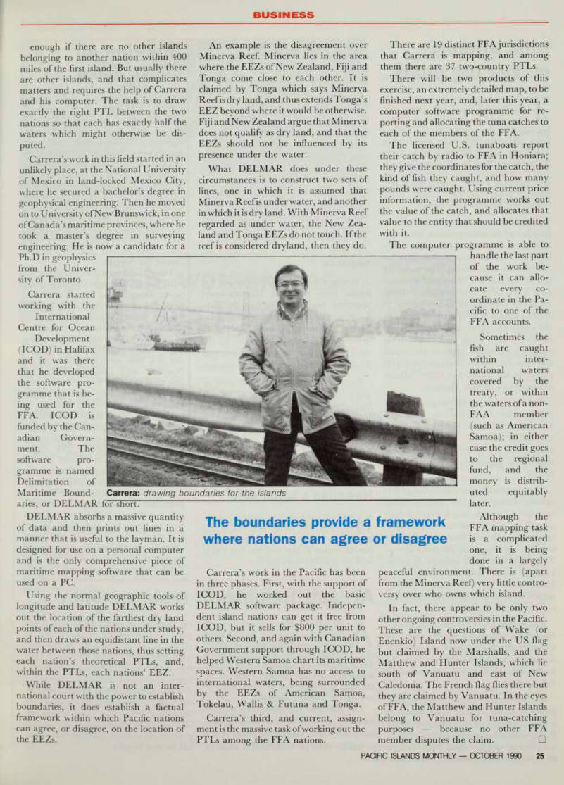
Carrera: drawing boundaries for the islands