Sea level stations
p. 52 · Read in the full issue
to use satellites
Little black boxes dotted about the Pacific 700 to 1000 miles apart are providing data on the long term oscillation in the mean level of the sea.
They are tidal gauges operating on electronic devices (often solar panel-powered) whose information is recorded on punch paper tapes.
The punch tapes are mailed to the Oceanographic Department of the University of Hawaii at Moana where for the past 12 years Dr Klaus Wyrtki has been conducting National Science Foundation-spon sored research on sea level varia tions in the Pacific equatorial re gions.
At remote atolls such as Kaping amarangi and Kanton where there is no longer a regular mail service, a delay of several months may halt the normally steady flow of tidal information. In a project where 100
per cent return is essential to provide the averages needed to do accurage tidal projections, time lag is a serious drawback.
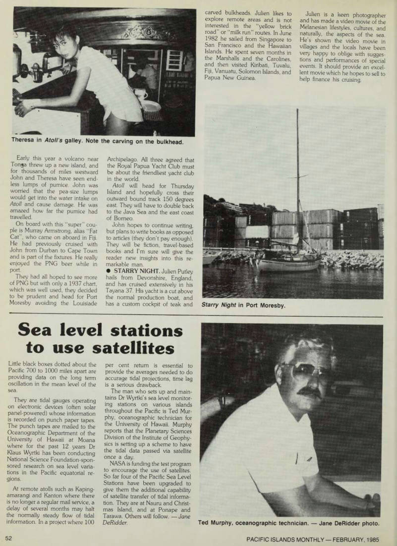
The man who sets up and main tains Dr Wyrtki’s sea level monitor ing stations on various islands throughout the Pacific is Ted Mur phy, oceanographic technician for the University of Hawaii. Murphy reports that the Planetary Sciences Division of the Institute of Geophy sics is setting up a scheme to have the tidal data passed via satellite once a day.
NASA is funding the test program to encourage the use of satellites.
So far four of the Pacific Sea Level Stations have been upgraded to give them the additional capability of satellite transfer of tidal informa tion. They are at Nauru and Christ mas Island, and at Ponape and Tarawa. Others will follow. —Jane Deßidder.
Ted Murphy, oceanographic technician.-Jane DeRidder photo.