Welcome Aboard -1625 Style
p. 106 · Read in the full issue
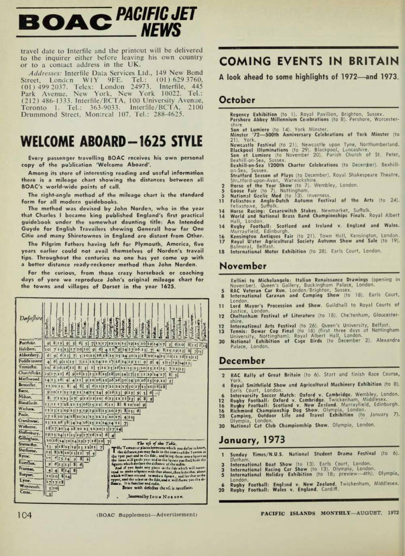
Every passenger travelling BOAC receives His own personal copy of the publication 'Welcome Aboard'.
Among its store of interesting reading and useful information there is a mileage chart showing the distances between all BOAC's world-wide points of call.
The right-angle method of the mileage chart is the standard form for all modern guidebooks.
The method was devised by John Norden, who in the year that Charles I became king published England's first practical guidebook under the somewhat daunting title: An Intended Guyde for English Travailers shewing Generali how far One Citie and many Shiretownes in England are distant from Other.
The Pilgrim Fathers having left for Plymouth, America, five years earlier could not avail themselves of Norden's travail tips. Throughout the centuries no one has yet come up with a better distance ready-reckoner method than John Norden.
For the curious, from those crazy horseback or coaching days of yore we reproduce John's original mileage chart for the towns and villages of Dorset in the year 1625.