travel
pp. 119-122 · Read in the full issue
A Regular Pim Department
Reporting News Of South
Seas Tourism And Travel
From The Inside
Picturesque New Guinea
With the introduction by the end of this year of new air ser vices which will put Papua-New Guinea on the through route (see page 121) more of the world’s; travellers will be seeing some of] the beauties of the territory for: themselves.
THE chances are they might first see these very pictures, for these have been selected from a portfolio of New Guinea pictures which was a prizewinning entry in the Pacific Photographic Fair in Melbourne in March. The photographs were sub mitted by Australia’s Department of Territories and they will later go on tour overseas.
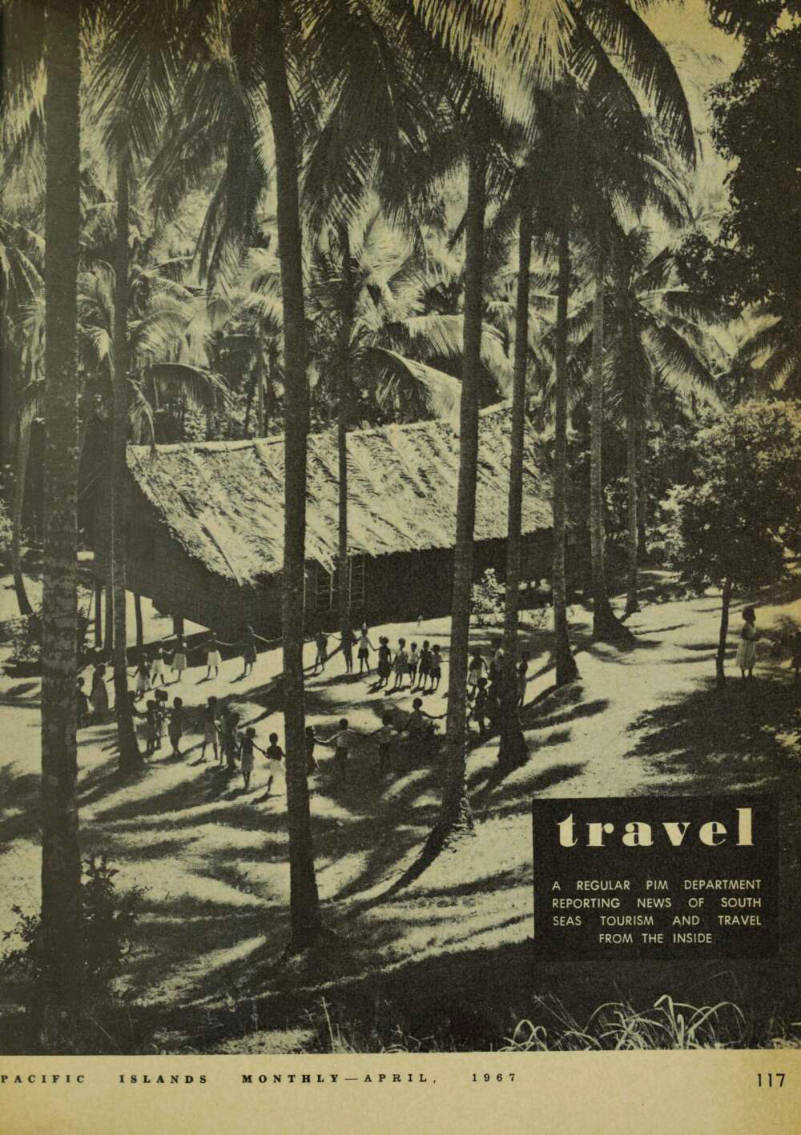
The opening picture on the pre vious page shows children at play at the Administration’s primary school on beautiful Rogeia Island, in the Milne Bay district of Papua. Rogeia, within hailing distance of the island of Samarai, which can be seen on page 120, has white sandy beaches to go with the typical South Sea Island look so apparent in this photo graph. White beaches are often a novelty in the South Seas; more often they are of black sand.
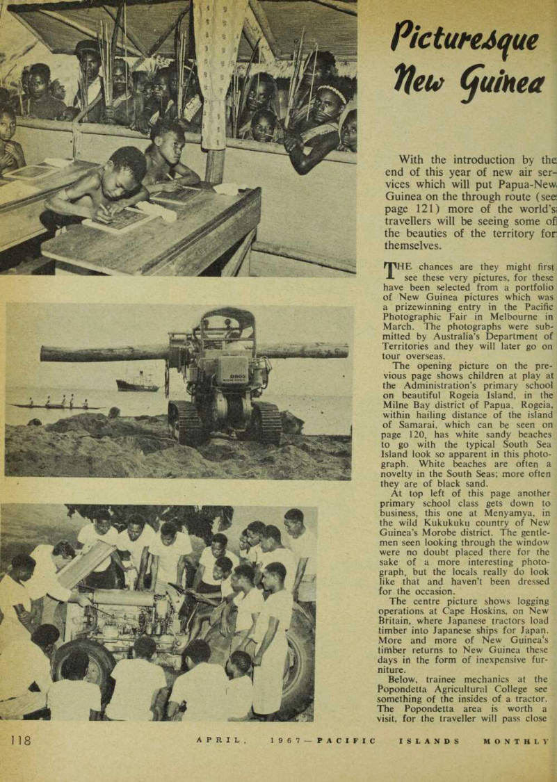
At top left of this page another primary school class gets down to business, this one at Menyamya, in the wild Kukukuku country of New Guinea’s Morobe district. The gentle men seen looking through the window were no doubt placed there for the sake of a more interesting photo graph. but the locals really do look like that and haven’t been dressed for the occasion.
The centre picture shows logging operations at Cape Hoskins, on New Britain, where Japanese tractors load timber into Japanese ships for Japan, More and more of New Guinea’s timber returns to New Guinea these days in the form of inexpensive fur niture.
Below, trainee mechanics at the Popondetta Agricultural College see something of the insides of a tractor.
The Popondetta area is worth a visit, for the traveller will pass close
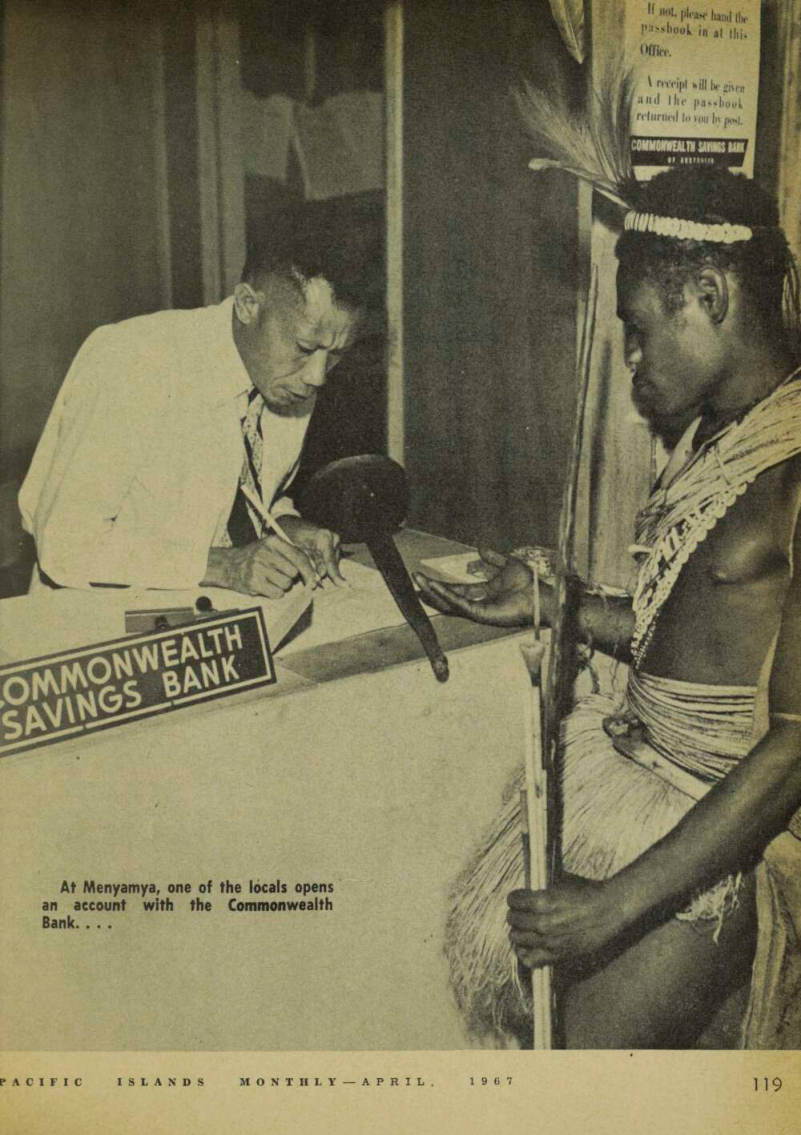
At Menyamya, one of the locals opens an account with the Commonwealth Bank. . . .
to the notorious Mt, Lamington, which erupted after the war with the loss of thousands of lives. From Port Moresby your aircraft follows the famed wartime Kokoda Trail, passing through a gap in the Owen Stanley Ranges. On a clear day from high above the Owen Stanleys it is some times possible to see right across the long arm of Papua from coast to coast.
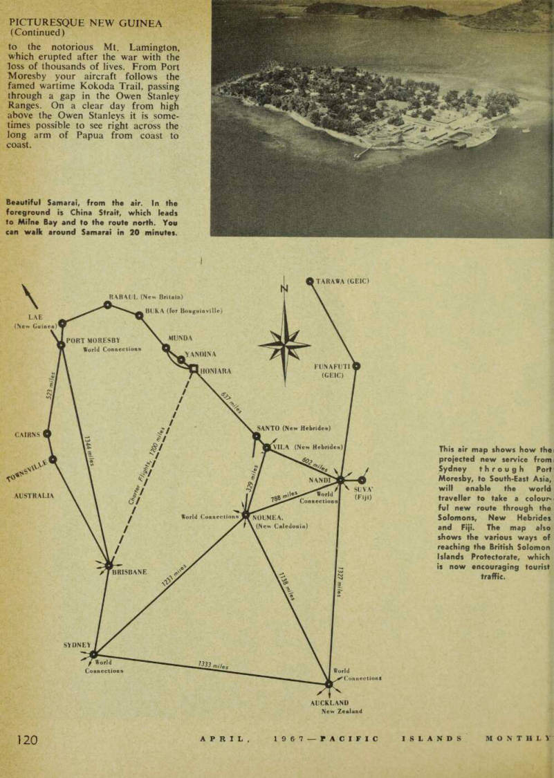
Beautiful Samarai, from the air. In the foreground is China Strait, which leads to Milne Bay and to the route north. You can walk around Samarai in 20 minutes.
This air map shows how the projected new service from Sydney through Port Moresby, to South-East Asia, will enable the world traveller to take a colour ful new route through the Solomons, New Hebrides and Fiji. The map also shows the various ways of reaching the British Solomon Islands Protectorate, which is now encouraging tourist traffic.