The Big
p. 45 · Read in the full issue
Floods
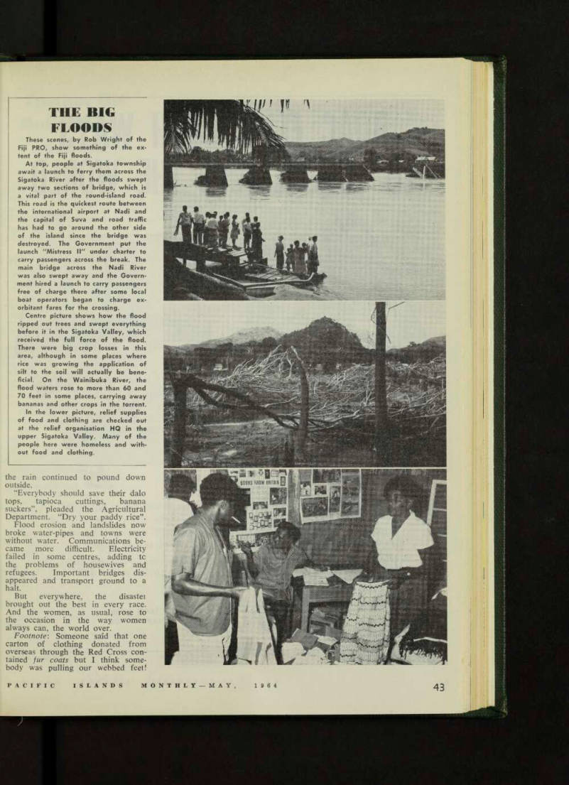
These scenes, by Rob Wright of the Fiji PRO, show something of the ex tent of the Fiji floods.
At top, people at Sigatoka township await a launch to ferry them across the Sigatoka River after the floods swept away two sections of bridge, which is a vital part of the round-island road.
This road is the quickest route between the international airport at Nadi and the capital of Suva and road traffic has had to go around the other side of the island since the bridge was destroyed. The Government put the launch "Mistress II" under charter to carry passengers across the break. The main bridge across the Nadi River was also swept away and the Govern ment hired a launch to carry passengers free of charge there after some local boat operators began to charge ex orbitant fares for the crossing.
Centre picture shows how the flood ripped out trees and swept everything before it in the Sigatoka Valley, which received the full force of the flood.
There were big crop losses in this area, although in some places where rice was growing the application of silt to the soil will actually be bene ficial. On the Wainibuka River, the flood waters rose to more than 60 and 70 feet in some places, carrying away bananas and other crops in the torrent.
In the lower picture, relief supplies of food and clothing are checked out at the relief organisation HQ in the upper Sigatoka Valley. Many of the people here were homeless and with out food and clothing.