The Fiji of the Burns Report
pp. 37-39 · Read in the full issue
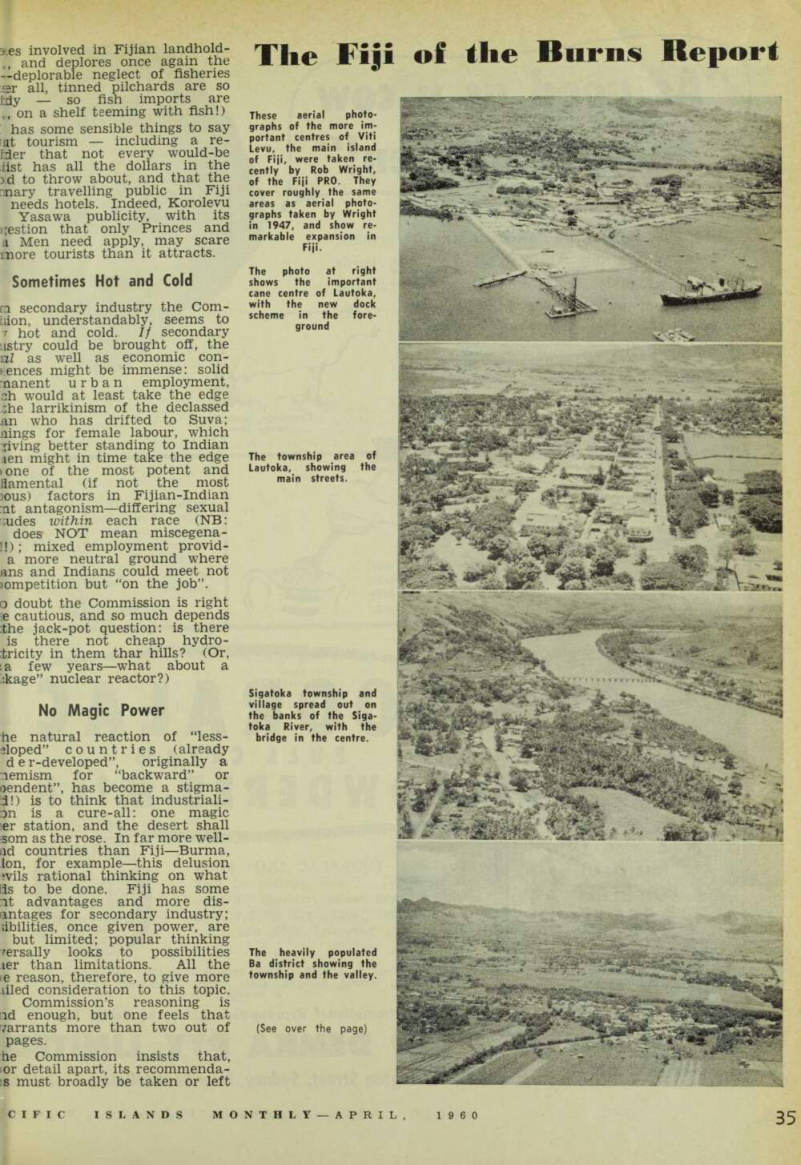

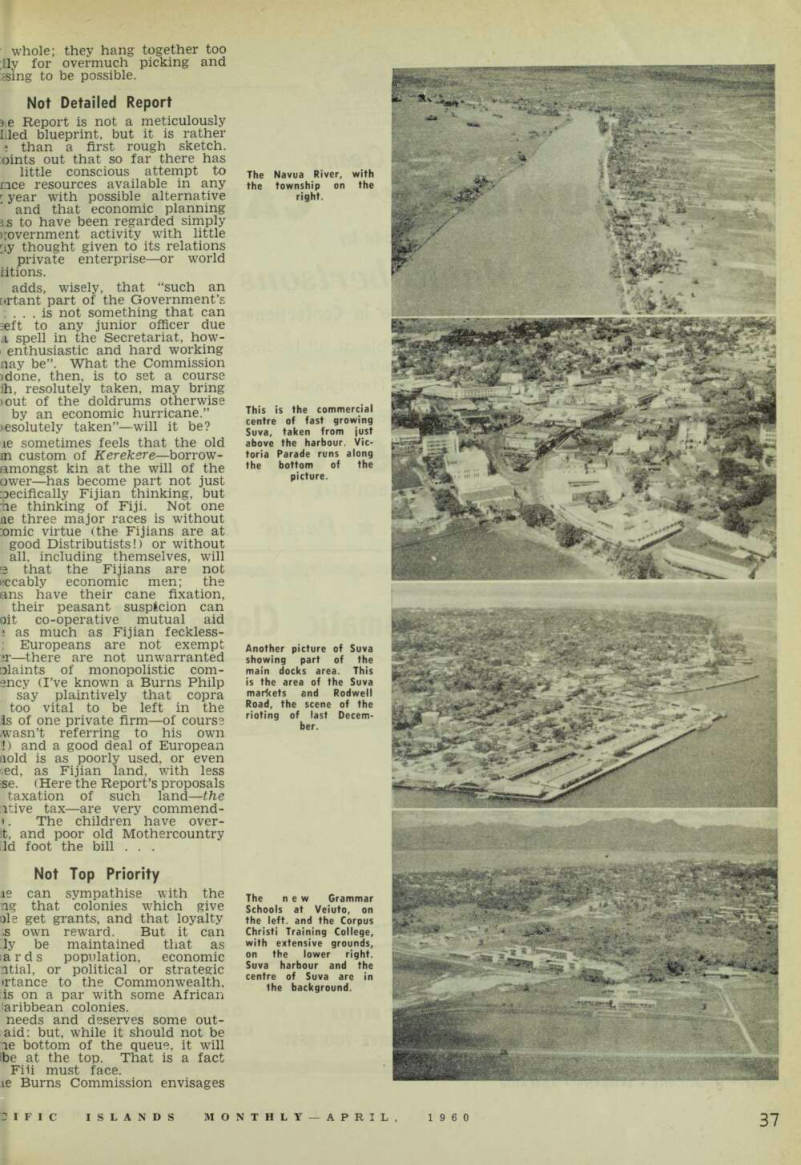
These aerial photo graphs of the more im portant centres of Viti Levu, the main island of Fiji, were taken re cently by Rob Wright, of the Fiji PRO. They cover roughly the same areas as aerial photo graphs taken by Wright in 1947, and show re markable expansion in Fiji.
The photo at right shows the important cane centre of Lautoka, with the new dock scheme in the fore ground
The township area of Lautoka, showing the main streets.
Sigatoka township and village spread out on the banks of the Siga toka River, with the bridge in the centre.
The heavily populated Ba district showing the township and the valley. (See over the page)
The Navua River, with the township on the right.
This is the commercial centre of fast growing Suva, taken from just above the harbour. Vic toria Parade runs along the bottom of the picture.
Another picture of Suva showing part of the main docks area. This is the area of the Suva markets and Rodwell Road, the scene of the rioting of last Decem ber.
The new Grammar Schools at Veiuto, on the left, and the Corpus Christi Training College, with extensive grounds, on the lower right.
Suva harbour and the centre of Suva are in the background.