In Hydrographic
pp. 71-72 · Read in the full issue
Modern Methods Used
Survey Of Fiji Waters
By Jack Thornton
r[E Royal New Zealand Navy survey ship Lachlan berthed in Suva early in June last year and ihortly after, at the request of the Fiji Government, began to sound ;he approaches to Suva and Port Sllington, and to see whether a ihorter passage between these ports :ould be located. The Fiji Govern nent had also requested advice on general hydrographic matters, and he desirability of setting up a Fiji lydrographic Survey Service. The Lachlan had been charting the few Zealand coast for months, and he job—especially in winter —can ;et very monotonous, so the RNZN vas only too pleased to make her ivailable for hydrographic survey n Fiji waters.
A deep-water passage between >uva and Port Ellington, provision ally considered suitable for use by ;eneral shipping, has now been ounded; and this new channel will educe the sailing distance between hese ports by about 50 miles. As t is very probable that modern nethods of charting would reveal he existence of other deep-water hannels in coastal waters of Fiji ,nd other Pacific Islands, it is ex acted that the Lachlan will visit sland waters at some future date.
The Lachlan returned to Fiji /aters this month, to carry on.—
!D. Pim).
Originally designed and built for nti-submarine work with the Royal Australian Navy, Lachlan is on loan o the New Zealand Government, md was converted to a modern
survey ship in 1949 at Auckland’s Devonport Dock yar d. The NZ Government has placed an order for a new survey vessel now being built in Britain, and it is hoped that delivery will be made before the Lachlan is scheduled to re turn to the Royal Australian Navy next year.
Most of the senior officers aboard the Lachlan, and about a third of the ratings, are from the Royal Navy. The officers are on loan from the Admiralty’s hydrographic sur vey branch (reputed to be the only branch of the Royal Navy to pay for its own upkeep, mainly through world-wide sales of Admiralty charts); many of the ratings are time-expired Royal Navy men en gaged by the New Zealand Govern ment.
Offiers and men work long hours, for the ship normally spends more time at sea than most vessels.
Modern science, by speeding up charting methods, brings extra work to the men, who must keep pace with the recordings of the machines.
Every hour of automatic recording by scientific devices means an hour’s work in the chart-room, where mechanically produced figures are transferred to charts by human hands.
Lieut.-Commander G, P. D. Hall, (Continued Next Page)
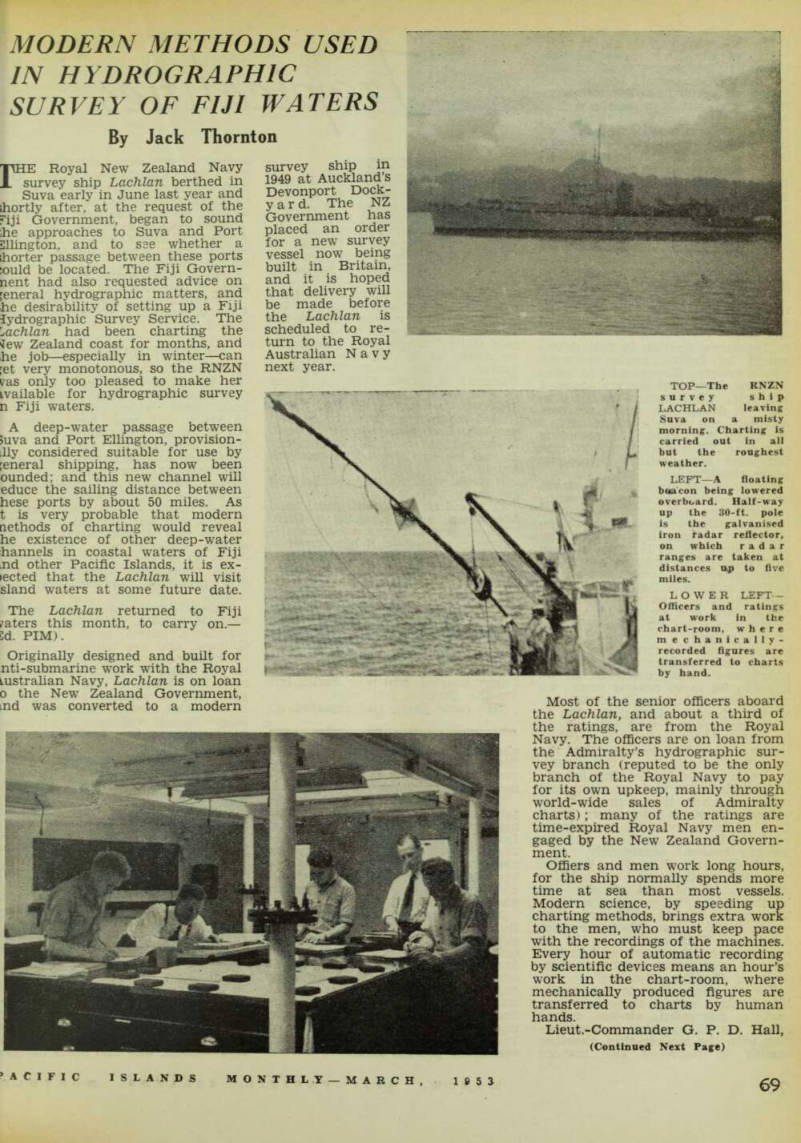
Top—The Rnzn
survey ship LACHLAN leaving Suva on a misty morning. Charting is carried out in all but the roughest weather.
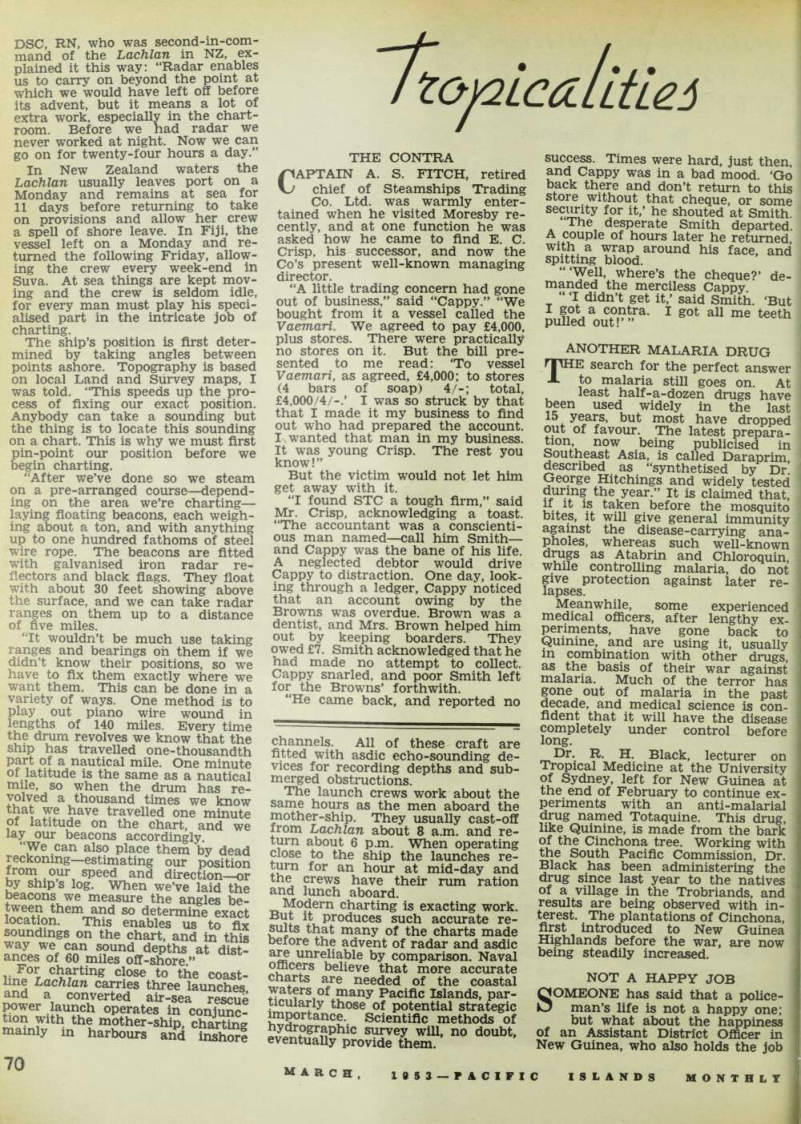
LEFT—A floating beacon being lowered overboard. Half-way up the 30-ft. pole is the galvanised iron radar reflector, on which radar ranges are taken at distances up to five miles.
Lower Left -
Officers and ratings at work in the chart-room, where mechanically recorded figures are transferred to charts by hand.
DSC, RN, who was second-in-com mand of the Lachlan in NZ, ex plained it this way: “Radar enables us to carry on beyond the point at which we would have left off before its advent, but it means a lot of extra work, especially in the chart room. Before we had radar we never worked at night. Now we can go on for twenty-four hours a day.”
In New Zealand waters the Lachlan usually leaves port on a Monday and remains at sea for 11 days before returning to take on provisions and allow her crew a spell of shore leave. In Fiji, the vessel left on a Monday and re turned the following Friday, allow ing the crew every week-end in Suva. At sea things are kept mov ing and the crew is seldom idle, for every man must play his speci alised part in the intricate job of charting.
The ship’s position is first deter mined by taking angles between points ashore. Topography is based on local Land and Survey maps, I was told. “This speeds up the pro cess of fixing our exact position.
Anybody can take a sounding but the thing is to locate this sounding on a chart. This is why we must first pin-point our position before we begin charting.
“After we’ve done so we steam on a pre-arranged course—depend ing on the area we’re charting— laying floating beacons, each weigh ing about a ton, and with anything up to one hundred fathoms of steel wire rope. The beacons are fitted with galvanised iron radar re flectors and black flags. They float with about 30 feet showing above the surface, and we can take radar ranges on them up to a distance of five miles.
“It wouldn’t be much use taking ranges and bearings oh them if we didn’t know their positions, so we have to fix them exactly where we want them. This can be done in a variety of ways. One method is to play out piano wire wound in lengths of 140 miles. Every time the drum revolves we know that the ship has travelled one-thousandth Pfrt of a nautical mile. One minute of latitude is the same as a nautical mile, so when the drum has re volved a thousand times we know that we have travelled one minute of latitude on the chart, and we lay our beacons accordingly.
“We can also place them by dead reckoning—estimating our position fromour speed and direction—or by ships log. When we’ve laid the beacons we measure the angles be tween them and so determine exact location. This enables us to fix soundings on the chart, and in this way we can sound depths at dist ances of 60 miles off-shore ” nZ or r cl ™rting close to the coast line Lachlan carries three launches and a converted air-sea rescue f£n 6 Li?; U ?£ h operates in conjunc tion with the mother-ship, charting mainly in harbours and SuSorl
channels. All of these craft are fitted with asdic echo-sounding de vices for recording depths and sub merged obstructions.
The launch crews work about the same hours as the men aboard the mother-ship. They usually cast-off from Lachlan about 8 a.m. and re turn about 6 p.m. When operating close to the ship the launches re turn for an hour at mid-day and the crews have their nun ration and lunch aboard.
Modern charting is exacting work. iP x, P r °duces such accurate re sults that many of the charts made Delore the advent of radar and asdic are unreliable by comparison. Naval officers believe that more accurate charts are needed of the coastal waters of many Pacific Islands, par ticularly those of potential strategic importance. Scientific methods of hydrographic survey will, no doubt, eventually provide them.