War Comes To The Atolls
pp. 18-19 · Read in the full issue
Makin, Tarawa, Abemama Occupied by the Americans
THE occupation of Makin, Tarawa and Abemama atolls, in the Gilbert Islands, by the Americans, not only opens up a new tactical dis position in the Pacific War—it also introduces a new kind of Pacific Islands fighting.
There is a vast difference between attacking an enemy established on large, mountainous, densely-jungled islands like those in New Guinea and the Solomons, and attacking an enemy on the coral atolls.
These atolls are queer things, diffi cult to envisage by anyone who has not been to the oceanic tropics to see them. What are often referred to as “islands” are not islands at all.
Makin or Tarawa is the name of a whole atoll or lagoon formation, which consists of a number of separately-named islets, surrounding
a lagoon.
Place a mass of coral on the ocean floor, and build it up until it lies just beneath the surface of the sea. The depth of water over it may be any thing from one to thirty fathoms, and it may be anything from five to thirty miles across.
Now, around the edge of that coral mass, place a series of coral lumps, shaped exactly like a string of saus ages of irregular length. Those sausages represent the islets. They may be anything from one to ten miles in length, but they rarely are more than three hundred yards in width, and they are never more than
six or eight feet above sea-level.
Every islet is covered with a strong growth of coconut and pandanus palms, and scrubby undergrowth— the trees rising sixty or eighty feet.
All these atolls conform to the same pattern—a string of long, narrow islets lying in a circle or an oval, enclosing a more or less shallow lagoon of widely varying size.
In some lagoons, patches of coral have risen above the surface and collected coconut and other trees, so that there may be islets within the lagoon itself, as well as strung along the edge.
In the Gilberts, in almost every atoll, the main islets,
which carry the townships and administrative cen tres, lie along the eastern side of the lagoons, while the ship entrances (in the few cases where the lag oons will admit ships) are on the western side. This means that at this season, when westerly gales are common, the lagoon en trances are often unavail able to ships.
In all these lagoons the outer, or ocean, side of the enclosing string of islets is steep to—in other words, surf breaks on the outer shore and there is deep water to within a hundred yards of the shore. On
the inner, or lagoon, side there is almost always shoal water, deepening gradually towards the middle of the lagoon.
All the Gilberts, without exception, are as flat as pancakes—the 30,000 virile Micronesians who inhabit them have never seen a hill or running water.
We are told that there were at least 5,000 Japanese on Tarawa atoll, a few hundred on Makin (north of Tarawa) and a smaller number on Abemama (south of Tarawa).
To have got astride those islets, and work along them, assisted by aircraft and by the warships, ought to have been simple, compared with the cam paigns among the mountains, jungles and swamps of New Guinea and the Solomons.
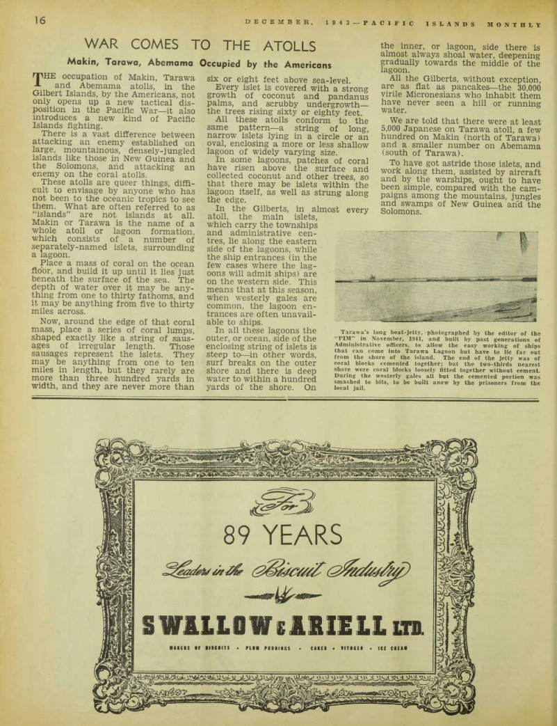
Tarawa’s long boat-jetty, photographed by the editor of the “PIM” in November, 1941, and built by past generations of Administrative officers, to allow the easy working of ships that can come into Tarawa Lagoon but have to lie far out from the shore of the island. The end of the jetty was of coral blocks cemented together; but the two-thirds nearest shore were coral blocks loosely fitted together without cement.
During the westerly gales all but the cemented portion was smashed to bits, to be built anew by the prisoners from the local jail.
Once the trees are cleared away, these flat islets of dry, hard-packed coral, make ideal landing fields.
The Marshall Islands, Japanese territory, are only some 300 miles to the north-west, and the Marshalls, also, are mostly coral atolls. It was reported in 1940 and 1941 that some of them had been fortified; but atolls are not easily defended, and it will be found that the really formidable Japanese bases are in the Carolines, still further north-west. There, the islands, instead of being merely low atolls, are a combination of atoll and volcanic mountain, and capable of being powerfully fortified. Truk and Ponape are of this description.
If the Japanese will not produce the air and naval strength to enable them to hold on to the Gilbert atolls, they may be in similar difficulty with the Marshall Island atolls, which are equally hard to defend.