Making Weather Maps For Airmen
Important New Organisation in South Pacific
We are indebted to Mr. E. B. Buxton, Meteorologist for Pan American Airways at Auckland, for this interesting description of a new organisation in the Pacific.
DURING the past two years Pan Ame rican Airways has had its meteoro logists in the South Pacific, daily carrying out analyses of the weather, from Cocos Island in the Indian Ocean, to Tahiti, in the Society Group.
For several years prior to this, the meteorological office in Alameda, U.S.A., and its branch in Manila had been an alysing tropical weather along its routes to the Orient, but the study of the South Pacific had been based upon statistics and the works of other agencies.
Late in 1936, the Company sent one of its meteorologists, experienced in the characteristics of typhoons and other tropical weather phenomena, to Auck land, N.Z., to prepare for a survey flight.
The resources of the well-established N.Z. Meteorological Office were extended to the Company by the Director, Dr. E.
Kidson, and Dr. Macky of his staff was assigned to Auckland, where he co-oper ated with the Pan American meteorolo gist in the preparation of weather maps.
After the first survey flight was carried out in March, 1937, work on permanent bases in the South Pacific progressed steadily, regular service commencing late in December.
The interruption in the South Pacific service has not interfered with the rou tine meteorological research being carried out by the Company’s staff.
In the past two years over 800 weather charts of the South Pacific have been drawn from reports collected from Aus tralia, New Zealand, ships at sea, and the Islands. These reports are dissem inated from collecting centres at Rich mond and Pt. Cook (Australia) and Wellington (New Zealand). The broad casts are picked up by the Company’s radio in Auckland and turned over to the Meteorological Department in the Terminal Building in Mechanics Bay.
With these reports, which are synoptic, a map is prepared showing the pressure distribution and the location of Fronts (discontinuities between various air masses).
The Auckland office prepares all fore casts south of the Equator, while the Alameda office is responsible for advices issued north.
The first flights emphasised several im portant requisites for the despatching of aircraft in this region.
A fairly dense network of observation stations, furnishing at least two reports daily, with a high percentage of regul arity, is required. Upper-air surround ings must be obtained in order to ascer tain the structure of the tropical storms which are such a prominent feature of the weather in this part of the world.
From an airline point of view it is not sufficient to know the approximate loca tion of the centre of a storm; something must be known of its frontal structure, if an accurate forecast of flying condi tions is to be made.
Looking into the future, when frequent services will be operating in the South Pacific, a conference was called by Dr.
Kidson in Wellington in November, 1937.
Invitations were extended to representa tives from Australia, Apia, Suva, London, U.S.A., France and New Zealand. Pan American Airways was represented at this conference, and a complete organisation was developed in the form of resolutions and recommendations which, when car ried out, will ensure a satisfactory met eorological service for all transport op erations in the South Pacific.
To carry out these recommendations, sizeable appropriations will be requir ed in some cases. The co-operation of all Administrations in the Pacific has been solicited, as being vital to the suc cess of aircraft operations in the South Seas.
Recognition of the invaluable service rendered by voluntary meteorological ob servers throughout the Pacific Islands is not often enough brought to the atten tion of the public. The solitary radio observer or school-teacher, reading his barometer and coding his report of local weather conditions several hundred miles from the next observer, plays a more im portant part in weather forecasting and research than he would in any other part of the world.
A good example of this occurred re cently, when the writer of this article succeeded in tracing a mass of Polar Maritime air from its first appearance in the Australian Bight, north-eastward in
to the tropics, and thence eastward be yond Tahiti. This air, fresh from high latitudes, is naturally cold and, having been long over water, is relatively moist.
In its passage north and east it is heated from below and this thermodynamic pro cess causes the typical south-westerly type of weather so familiar to navigators of the Tasman.
From day to day, the progress of this air mass was traced r by locating its northern boundary, which appears on the weather chart as a blue line. This blue line is known technically as a Squall Line, or Cold Front. Tracing his Front up to Norfolk Island was fairly easy from ship reports; but, north of Latitude 30S, the air had become so modified that its boundaries became more difficult to find.
Its passage over Noumea was indicated by the shift in wind. Reports from Santo and Vanikoro were missing, hence be tween Vila and Tulagi the location of the Front was vague and uncertain. The Tongans, Fiji, Rotuma and Funafuti veri fied the movement of the mass still fur ther; and, finally, Wallis, Uiuafu, Kep pel and Apia reported its effects.
The reports from Danger Island, Mani hiki and Penrhyn were significant, in that they proved that they were out of the range of the Front, It does not ap pear that the air mass penetrated the equatorial latitude, but its eastward march was clearly traced past the Cook Islands.
With sufficient reports, it will be pos sible to study the modifications an air mass undergoes in such a journey, and forecasting for the tropics will be im proved.
This is only one case where Island stations played a significant part in an interesting bit of meteorological research.
Each and every report received at this office is carefully scrutinised, and an attempt made to visualise the weather at each particular station. Seven days a week, throughout the year, this goes on, since an interruption breaks up the continuity and reasoning behind the weather map.
Mr. and Mrs. David Morris, and their daughter Patricia, paid a short visit to Fiji by the “Otranto” in September. Mr.
Morris is a director of Morris, Hedstrom, Ltd.
Dr. H. W. Jack, Director of Agriculture at Suva, Fiji, and Mrs. Jack returned to the Colony on September 15 by the “Nia gara” after leave.
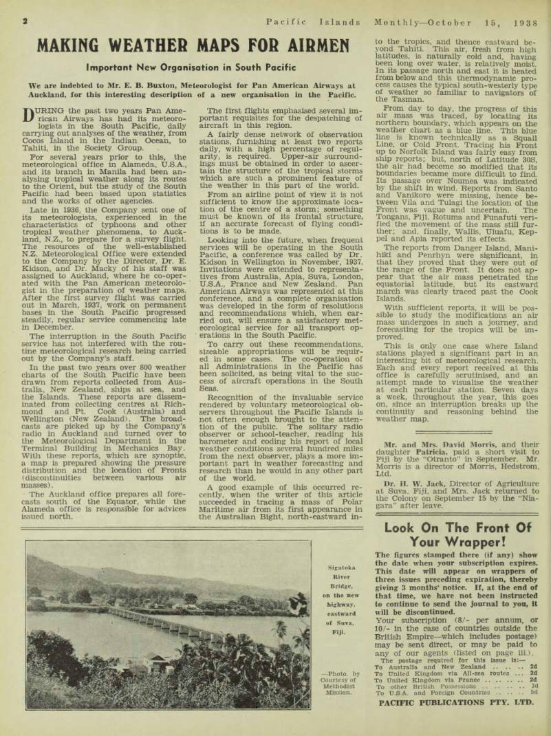
Sigatoka River Bridge, on the new highway, eastward of Suva, Fiji. —Photo, by Courtesy of Methodist Mission.