Bird's Eye View
p. 45 · Read in the full issue
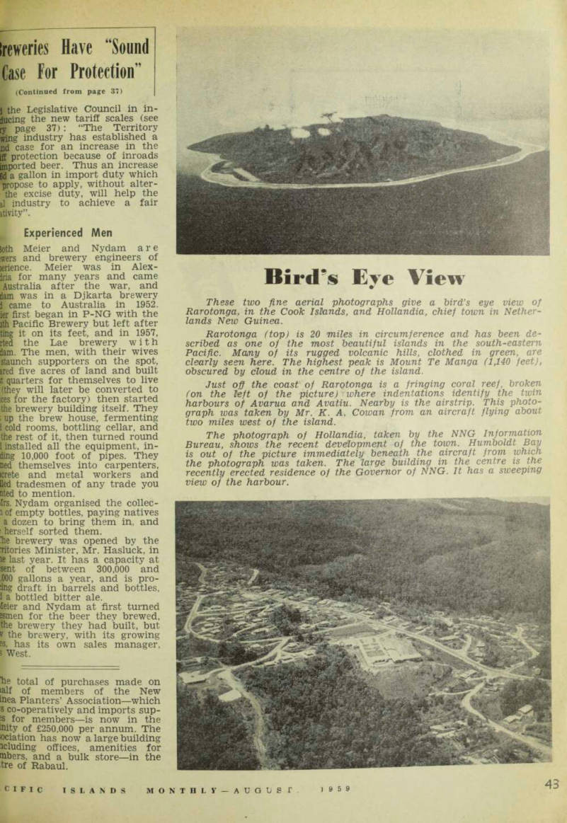
These two fine aerial photographs give a bird’s eye view of Rarotonga, in the Cook Islands, and Hollandia, chief town in Nether lands New Guinea.
Rarotonga (top) is 20 miles in circumference and has been de scribed as one of the most beautiful islands in the south-eastern Pacific. Many of its rugged volcanic hills, clothed in green, are clearly seen here. The highest peak is Mount Te Manga (1,140 feet), obscured by eloud in the centre of the island.
Just off the coast of Rarotonga is a fringing coral reef, broken (on the left of the picture) where indentations identify the twin harbours of Avarua and Avatiu. Nearby is the airstrip. This photo graph was taken by Mr. K. A. Cowan from an aircraft flying about two miles west of the island.
The photograph of Hollandia, taken by the NNG Information Bureau, shows the recent development of the town. Humboldt Bay is out of the picture immediately beneath the aircraft from which the photograph was taken. The large building in the centre is the recently erected residence of the Governor of NNG. It has a sweeping view of the harbour.