Incorrect Chart
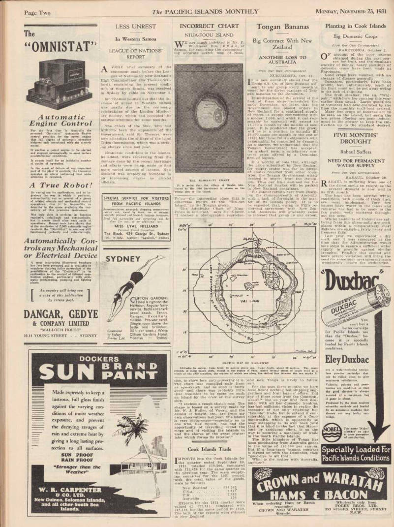
Niua-Foou Island
WE are much indebted to Mr. P.
W. Glover, B.Sc., F.R.A.S., of Samoa, for supplying- the accompanying accurate sketch map of Niua-
The Admiralty Chart
It is noted that the village of Haafoi (destroyed bu the 1909 hurricane) is shown on the wrong side of the island.
Fo’ou —the interesting place that is otherwise known as the “Tin-can Island,” in the Tongan group.
“The Admiralty Chart of Niua- Fo’ou is incorrect,” says Mr. Glover.
“I enclose a photographic reproduc-
Sketch Map Of Niua-FoÓU
Altitudes in metres: Lake level, 25 metres above sea. Lake depth, about 90 metres. The shore consists of steep basalt cliffs, except in the region of Futu, where several pieces of beach exist as a result of the 1929 eruption, the craters of which are along the dotted line between the two marks X.
tion, to show how untrustworthy it is.
The chart was compiled only from an eye-sketch, and as such is fairly good—and there was probably little time available to be spent on such an island by the crew of the survey ship.
“I enclose a rough sketch map. The shape is based on a survey made by Mr. F. J. Fuller, of Vavau, and the details of height, etc., are from my own observations last year. The island is very picturesque—especially so to one who, like myself, has had the opportunity of travelling round the ridge and of visiting the islands in and the shores of the great crater lake which forms its interior.” ... ===